What to see
From Salta capital city to Cachi

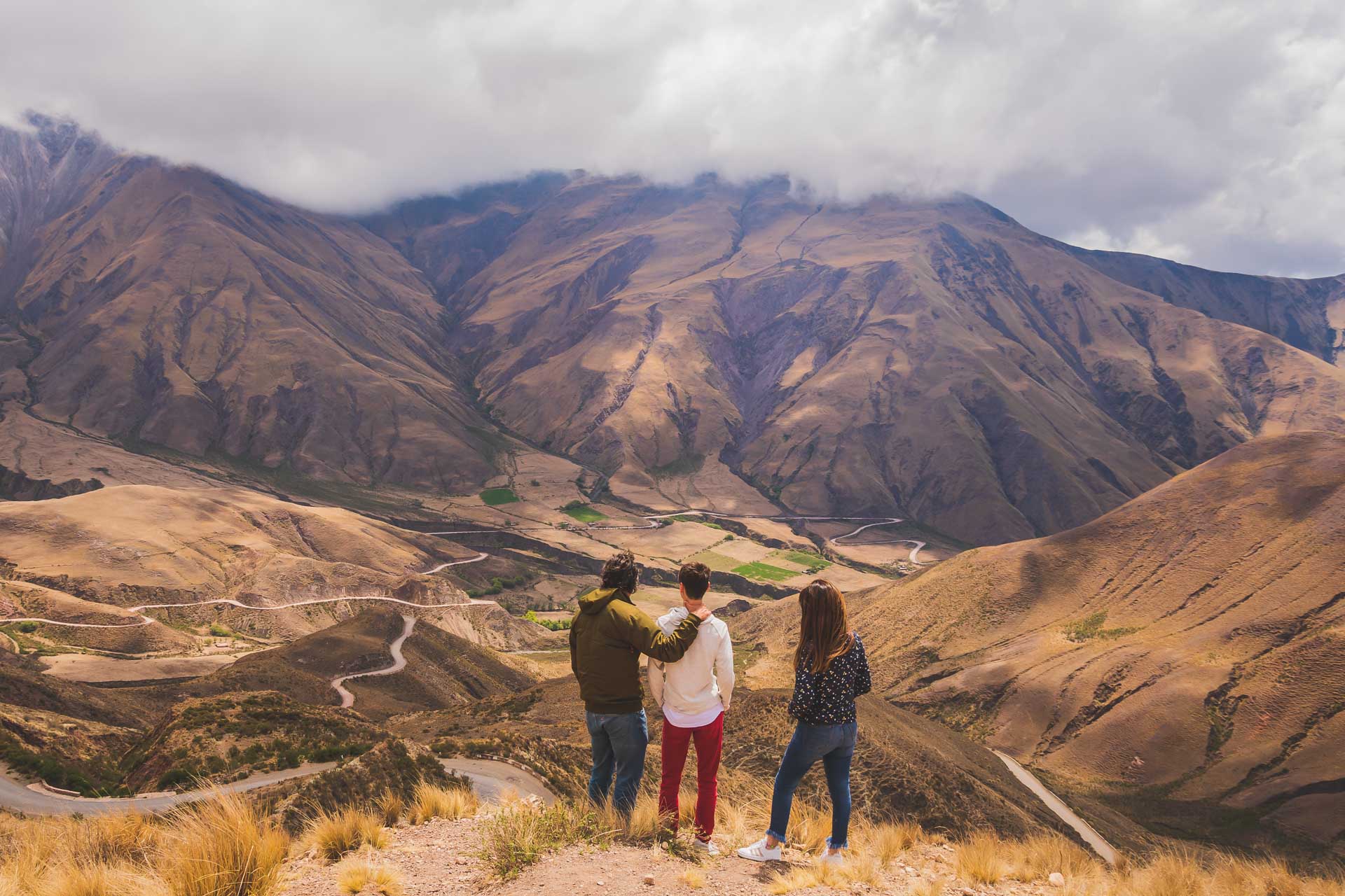
Overall, it is 165 km. There are several stops along the way after leaving Salta city. Chicoana, with its colonial architecture, offers trekking, horse riding, bird watching, and it is the starting point of Salta’s Wine Route. Quebrada de Escoipe is a valley with lush vegetation and reddish land with very narrow areas, almost boxed in-between stone walls. Cuesta del Obispo offers a winding road that goes up the mountain and dazzles with several viewpoints along 20 km. The highest point is Piedra del Molino, some 3,348 m.a.s.l.
Along this road, you will see Los Cardones National Park, one of the largest teasel parks in South America. Beyond Payogasta, along National Route 40, you will arrive in Cachi, which is considered an “Authentic Village”. Overall, it is 165 km.
From Cachi to Cafayate

Two points linked by the legendary RN 40 and a 157 km route between towns frozen in time. Starting from Cachi, you will reach Seclantás, where you can learn with specialized guides about the famous geological formations of the Quebrada del Rincón Municipal Reserve (known as Cuevas de Acsibi). The Camino de los Artesanos also stands out, ideal for buying ponchos and fabrics.
After going through Molinos, Angastaco proposes hiking or horseback riding to the Los Colorados geological formations. The RN40 continues and crosses the Quebrada de las Flechas Scenic Route, with formations that seem from another planet. In San Carlos you can enjoy the view of the Calchaquí River and do experiential tourism in rural communities that includes, among other activities: agrotourism, walks, horseback riding, regional cooking classes, wine making, and ceramic crafts.
This entire region is part of the Wine Route (one of the highest in the world), with wineries, vineyards and wine tourism experiences.
Cafayate

This quiet city of colonial architecture invites you to enjoy the world of wine with several experiences, ranging from the Vine and Wine Museum to wine-tasting and visits to vineyards and wineries.
Cafayate is the starting point of different walking tours, such as the one to San Isidro hill, to the seven cascades or to the Colorado River cascade, among others.
From Cafayate to Salta

A nearly 190-km circuit depicting the wonderful Quebrada de las Conchas (or Quebrada de Cafayate) with its sand dunes, amazing coloured hills and whimsical shapes. Among them, the Amphitheatre, Garganta del Diablo (Devil’s Throat), Fraile (Friar), Yesera (Plaster), Castillos (Castles), Obelisco (Obelisk), and Sapo (Toad). Each of them offers a unique spectacle. Besides, you can take walking tours and practise horse riding.
From Cachi to San Antonio de los Cobres, in the Puna

Known as Alto Valle Calchaquí (High Calchaquí Valley), this 145-km road is the highest in National Route 40 and it is better to take it in high or 2WD vehicles. It is a cornice, rubble and narrow road, with curves and opposing curves -only for drivers experienced in mountain routes.
Along the road, you will pass through the Gemelos (Twins) volcanoes, with a striking black-painted landscape; Graneros Incas, the old dwellers’ stack and storage location; and Puente del Diablo, a spectacular experience along caves formed by the volcanoes eruption and mystic landscapes. You can also visit La Poma, a village stuck in time.
After crossing Abra del Acay (the highest point on National Route 40, at nearly 5,000 m.a.s.l.), the road connects with Provincial Route 51, leading to San Antonio de los Cobres and Quebrada del Toro.
Valle de Lerma

With a very nice weather all year round, it comprises locations like Cerrillos, La Merced, Campo Quijano, Alemanía, Rosario de Lerma, El Carril, Chicoana and Coronel Moldes, apart from Cabra Corral dam, the second largest artificial lake in Argentina.
The activities in the area include trekking to the Guachipas caves with paintings, adventure tourism in Cabra Corral dam (rafting, canopy, bungee jumping, jet-skiing), kayaking in Juramento River and accommodation in rural homes, which also offer horse-riding and walking tours.


